India’s most accurate %%DEM and 3D Mapping%% with High-Resolution SAR

A Flagship SAR-Based Digital Elevation Modelling (DEM) for Large-Scale complex Geospatial Applications.
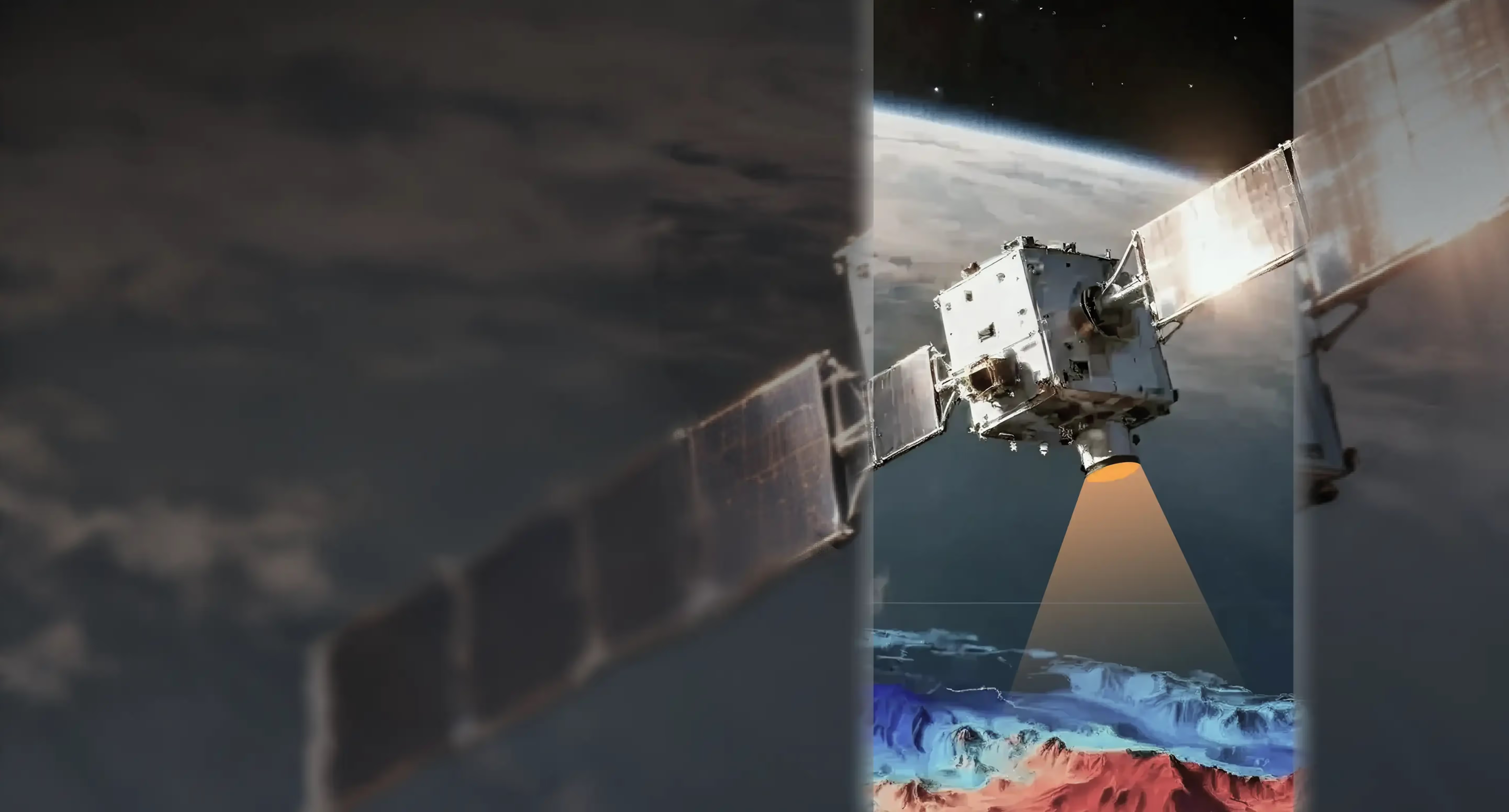
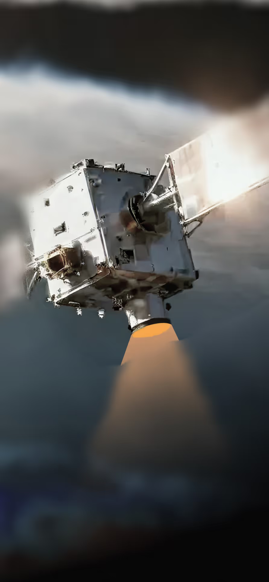
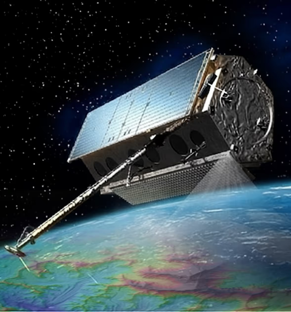
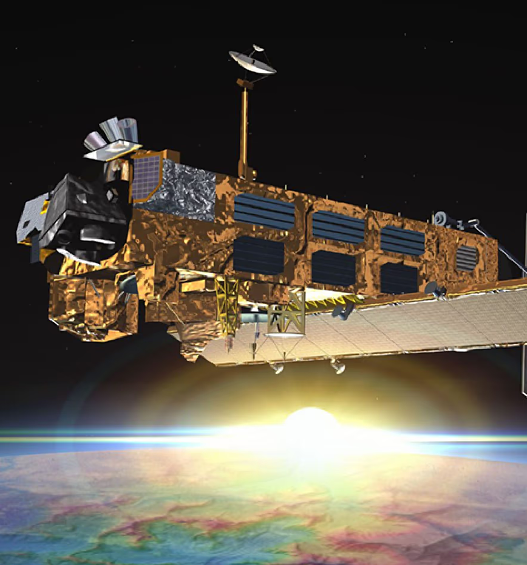
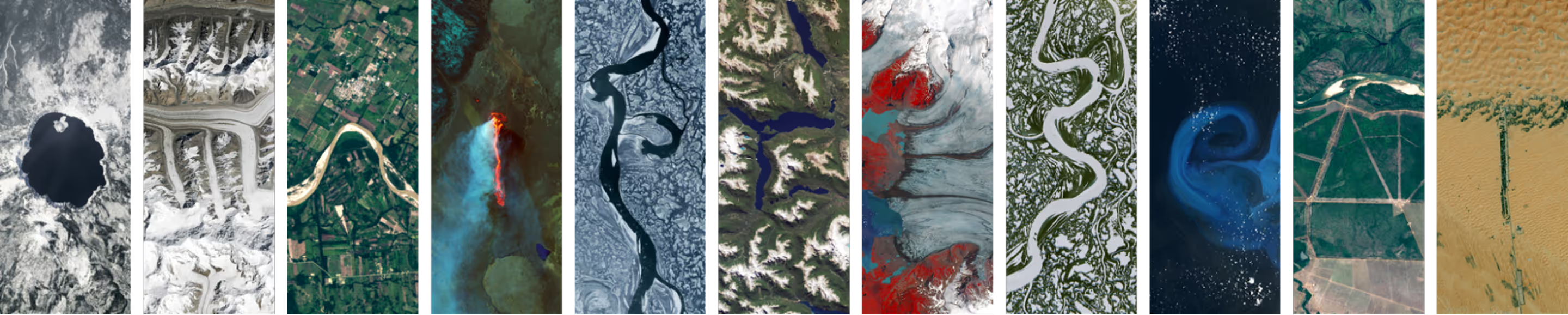
OMNISAR3D is India's indigenous SAR-based elevation intelligence platform delivering the highest resolution Digital Elevation Models ever produced by an Indian satellite system, across any weather, any terrain, and any condition, for large-scale land surveys, disaster management, strategic planning, and national mapping. Unlike optical systems that fail under cloud cover or at night, OMNISAR sees through it all, built ground-up in India, with absolute MSL-grade accuracy that sets a new benchmark for the most critical applications.
Key Capabilities
Indigenous high-resolution SAR sensor
A state-of-the-art SAR sensor developed entirely in India, capable of capturing extremely fine-resolution data including over complex, rugged, and hilly terrains that challenge conventional imaging systems.
Next-generation DEM generation
Produces precise Digital Elevation Models under cloud cover, night conditions, and the most challenging topographies delivering where optical systems fall short entirely.
Advanced interferometric techniques
Leverages InSAR (Interferometric SAR) with precise baseline configuration to extract accurate surface elevation information ,enabling MSL-referenced vertical accuracy at a national benchmark level.
Scalable large-region mapping
Architected to process massive geographies seamlessly from district surveys to national mapping programmes, making it equally suited for strategic applications and large-scale disaster management.
Impact
OMNISAR3D enables high-precision, all-weather elevation mapping critical for national planning and disaster management. By delivering MSL-accurate Digital Elevation Models across large and complex terrains, the platform directly advances India's indigenous geospatial capabilities representing one of the country's most scientifically rigorous SAR-based elevation mapping initiatives to date.


.avif)

.svg)
.png)
Explore other projects