Endurance, Reach, Reliability. Built for missions where runways don't exist and coverage cannot wait.
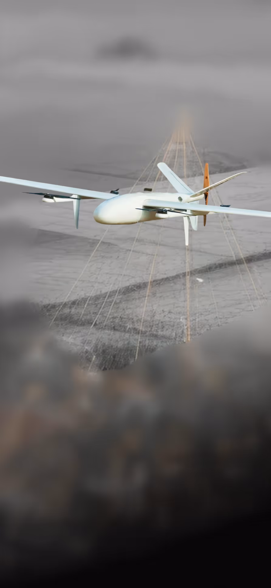
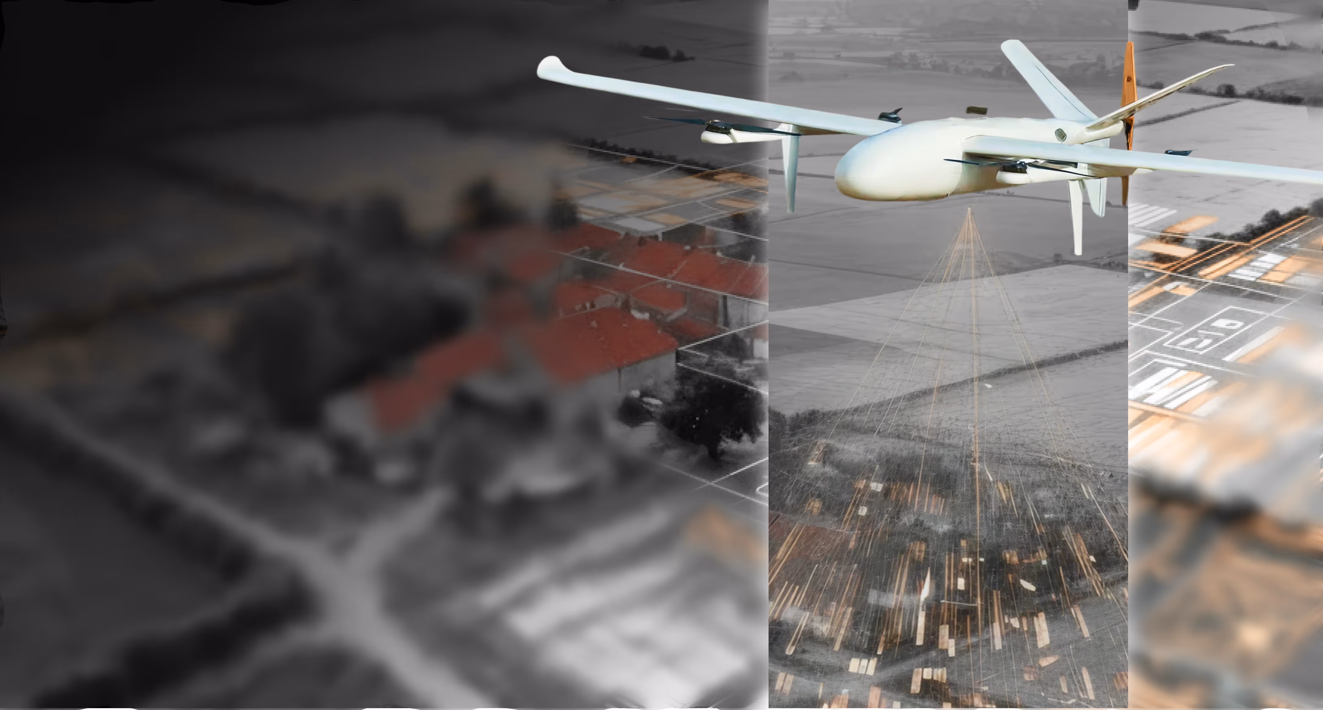
Long-Endurance VTOL Fixed-Wing UAV for Wide-Area Surveillance & Mapping Deployed Nationwide — PM Modi Swamitva Scheme
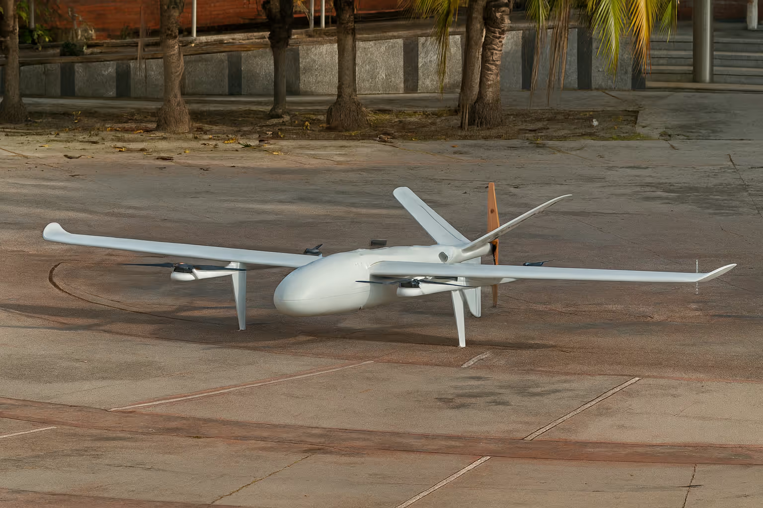
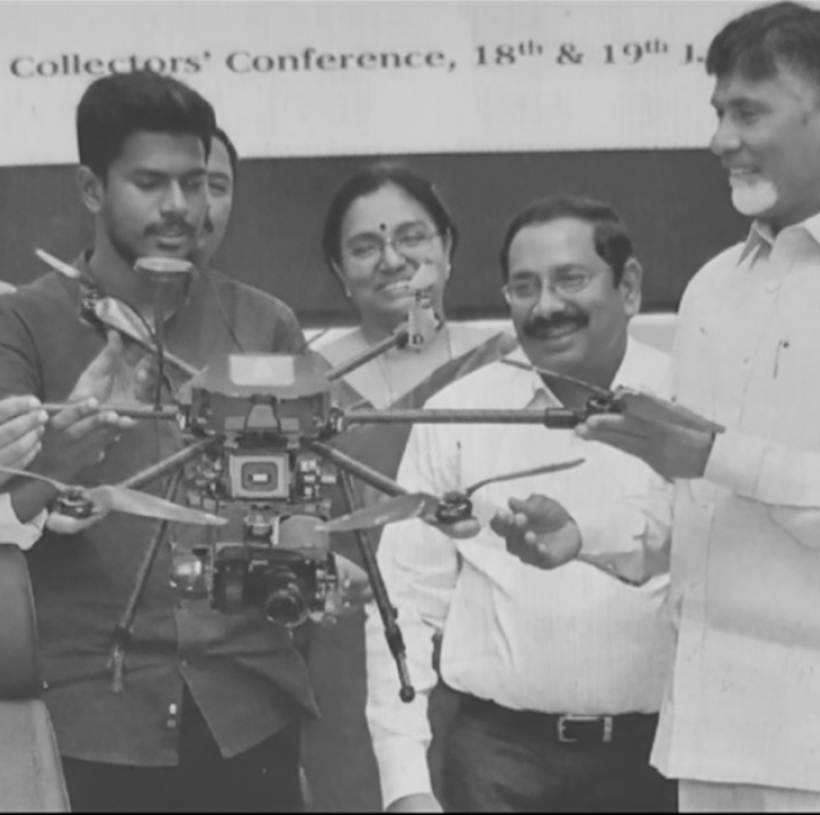
OmniHansa Mapper is a long-endurance VTOL fixed-wing UAV engineered for wide-area surveillance, mapping, and persistent intelligence missions. By combining vertical takeoff and landing with efficient fixed-wing cruise, Hansa enables multi-hour operations, high-altitude performance, and reliable deployment from unprepared or confined locations without the need for runways.Deployed nationwide as part of the PM Modi Swamitva Scheme, OmniHansa Mapper has demonstrated operational reliability at national scale across diverse terrain, altitude, and infrastructure conditions.
Key Capabilities
Endurance & Propulsion
Long-endurance mission capability
Up to 4 hours of endurance without payload and approximately 3.5 hours with a 1.2 kg operational payload enabling persistent monitoring, extended patrols, and large-area survey completion in a single sortie.
- Reduces sortie frequency and operational cost per km covered
- Sustained loiter capability for time-sensitive surveillance tasks
VTOL + fixed-wing hybrid efficiency
Vertical takeoff and landing eliminates runway dependency transitioning seamlessly to fixed-wing cruise for long-range, energy-efficient coverage across wide geographies.
- Deployable from confined, unprepared, or forward operating locations
- Fixed-wing cruise delivers significantly greater range than multirotors
Flight Performance & Altitude
High-altitude operations Supports missions up to 4800 m altitude delivering reliable performance across mountainous, high-elevation, and geographically complex environments where most UAVs cannot operate consistently.
- Designed for Himalayan and high-terrain operational deployment
- Proven in national mapping missions across diverse elevations
Stable & predictable flight performance
Cruise speeds up to 26 m/s with controlled handling characteristics and defined stall behaviour ensuring safe, repeatable operations across varied wind and atmospheric conditions.
- Defined stall characteristics for predictable recovery
- Consistent flight envelope across all operational profiles
Payload & Environmental Resilience
Mission-ready payload capacity
Supports approximately 1.2 kg of operational payload accommodating EO/IR sensors, mapping cameras, and survey equipment across a wide range of mission configurations.
- Compatible with standard EO, IR, and LiDAR sensor packages
- Payload-agnostic mounting for rapid mission reconfiguration
All-weather operational design
Operates across –20°C to +45°C with defined wind resistance envelopes in both VTOL and forward-flight modes engineered for year-round deployment across India's diverse climatic regions.
- Cold-weather performance from sub-zero high-altitude conditions
- Wind-rated for reliable VTOL transitions in adverse conditions
Impact
Closing the gap between endurance, altitude, and deployment flexibility. Wide-area surveillance, mapping, and reconnaissance missions demand endurance, altitude, and operational flexibility often in regions with no prepared infrastructure. OmniHansa Mapper directly addresses this gap by combining VTOL flexibility with fixed-wing efficiency, enabling long-duration, high-altitude missions from remote or constrained locations while maintaining reliability, payload versatility, and operational safety.


.avif)

.svg)
.png)
Explore other projects