World’s First Multi Fusion %%AI-Powered Bird Hazard Management System%%

OmniBirdX is a real-time multi-sensor fusion platform leveraging AI/ML analytics, thermal drone surveys, and GIS mapping for comprehensive wildlife hazard management.
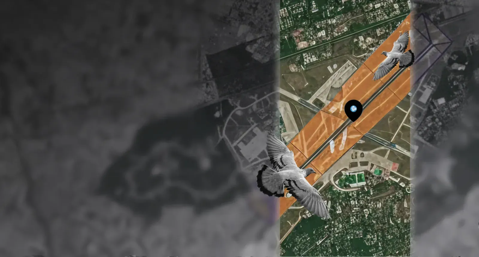
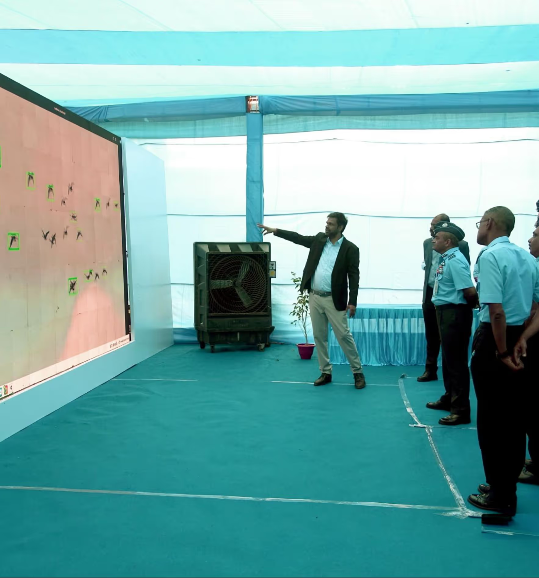
OMNI BIRDX is an advanced AI-powered bird hazard management system engineered to detect, predict, and mitigate avian strike risks across civil and national aviation environments. Built on close to 125 years of historical bird activity data and powered by multi-sensor fusion, it delivers real-time hazard intelligence to airfield operators, ATC personnel, and IAF command structures. Unlike conventional bird control methods, BIRDX does not operate autonomously it functions as a precision decision-support tool, augmenting human judgment with data-driven recommendations at every operational level.
Key Capabilities
Monitoring & surveillance
Automated bird population monitoring
- Continuous, unattended tracking of species composition, flock size, and movement patterns across all airfield zones day and night.
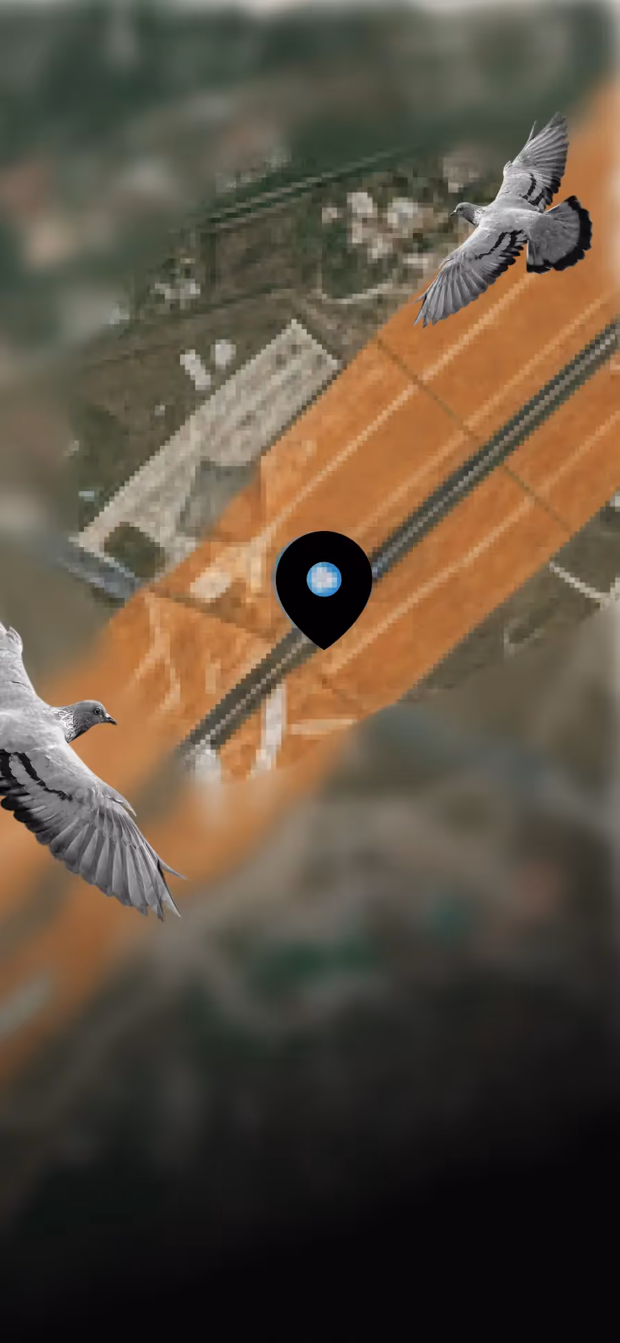
Thermal drone night surveys
- Identifies hidden roosting habitats and high-risk hotspots after sunset delivering full airfield visibility when optical systems are blind.
Ecological & human activity tracking
- Detects waste hotspots, agricultural zones, construction activity, and other landscape attractants that drive bird congregation near runways.
Geospatial & environmental intelligence
GIS land use analysis
- Maps vegetation, water bodies, attractants, and landscape features within and around the airfield perimeter providing the environmental context behind every bird activity pattern.
AI-powered prediction
- Forecasts bird movements, strike probability, and runway-specific risk alerts at 15-minute intervals using 125 years of historical data fused with live environmental inputs.
Strike prediction & sensor fusion
Strike prediction engine
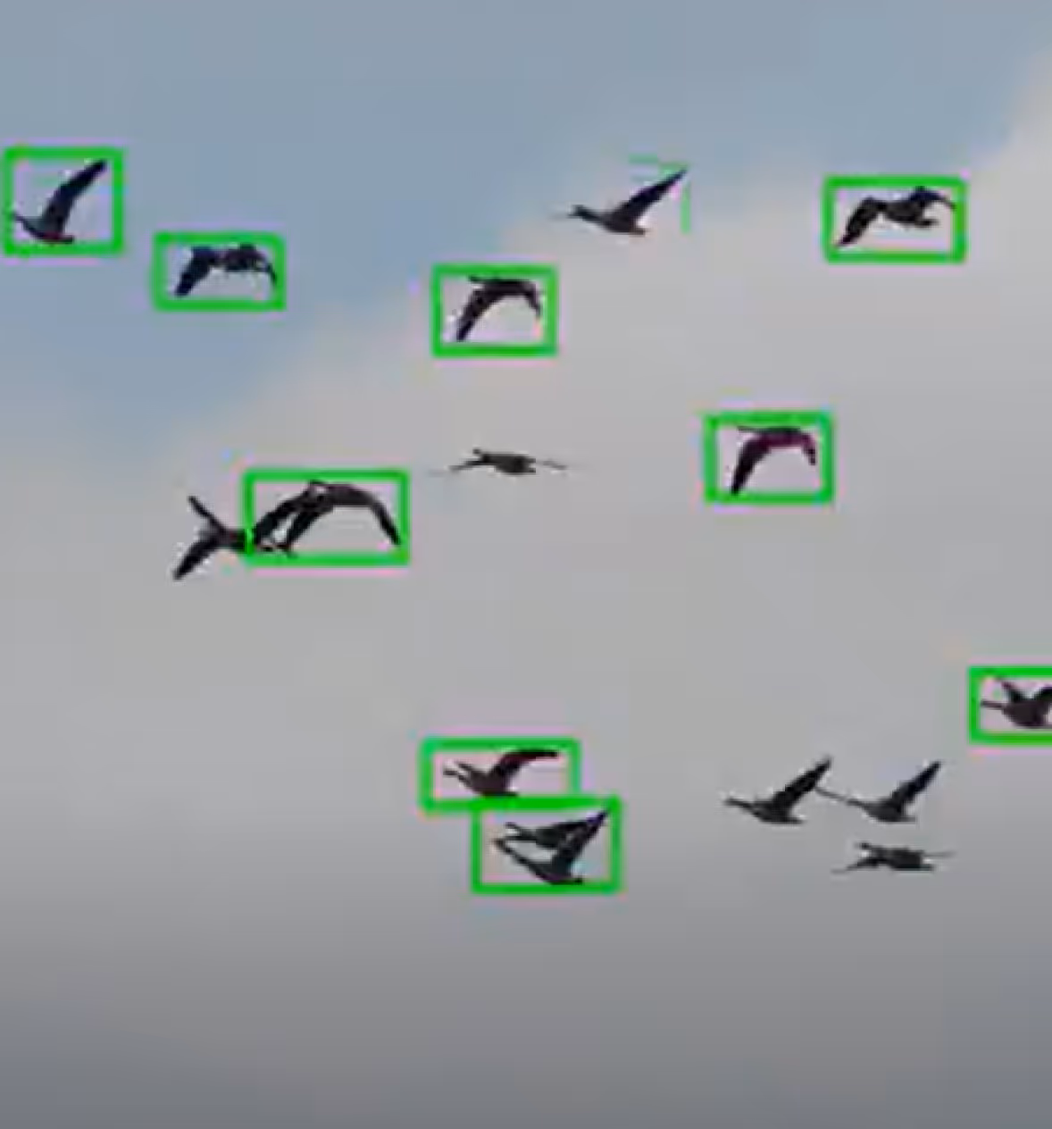
- Generates real-time heat maps and hazard indices for every airfield zone — translating raw sensor data into a clear, actionable risk picture for operators and ATC.
Sensor fusion
- Combines camera, drone, acoustic, radar, weather, and GIS data into a single unified analytics layer eliminating blind spots across sensor modalities for high-accuracy detection.
Decision intelligence & capacity building
Decision intelligence model
- Recommends optimal patrol routes, deterrent deployment, and operational advisories with past action logs continuously fed back into the engine to sharpen future recommendations.
Training & capacity building
- Builds skilled wildlife management teams through integrated multi-level training, examination, and certification fully aligned with ICAO safety standards and eliminating external programme dependency.
Impact
Bird strikes remain one of aviation's most persistent and costly safety risks, yet most airfields still respond reactively, without prediction, without species intelligence, and without a unified operational picture. OMNI BIRDX changes that entirely. By unifying multi-sensor fusion, AI-driven prediction, and decision intelligence into a single indigenous platform, it transforms avian hazard management from a manual, fragmented process into a continuous, data-driven, and measurably safer operation.


.avif)


.svg)
.png)
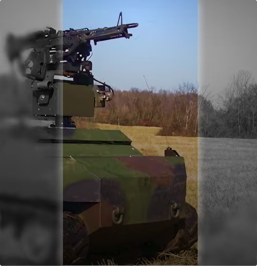
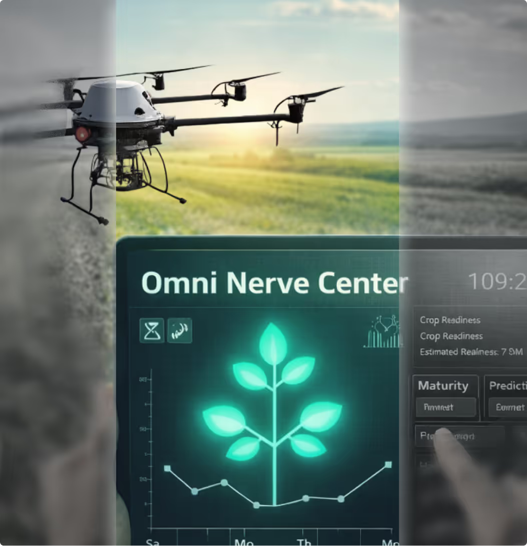
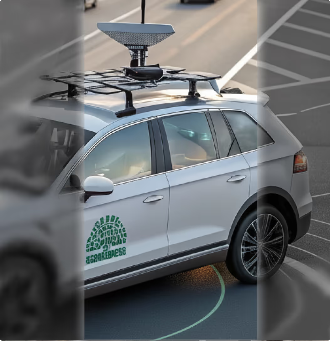
Explore other projects