OmniHansa Mapper %%Endurance. Reach. Reliability.%%
High-Accuracy Mapping Drone Deployed Nationwide for PM Modi Swamitva Scheme.
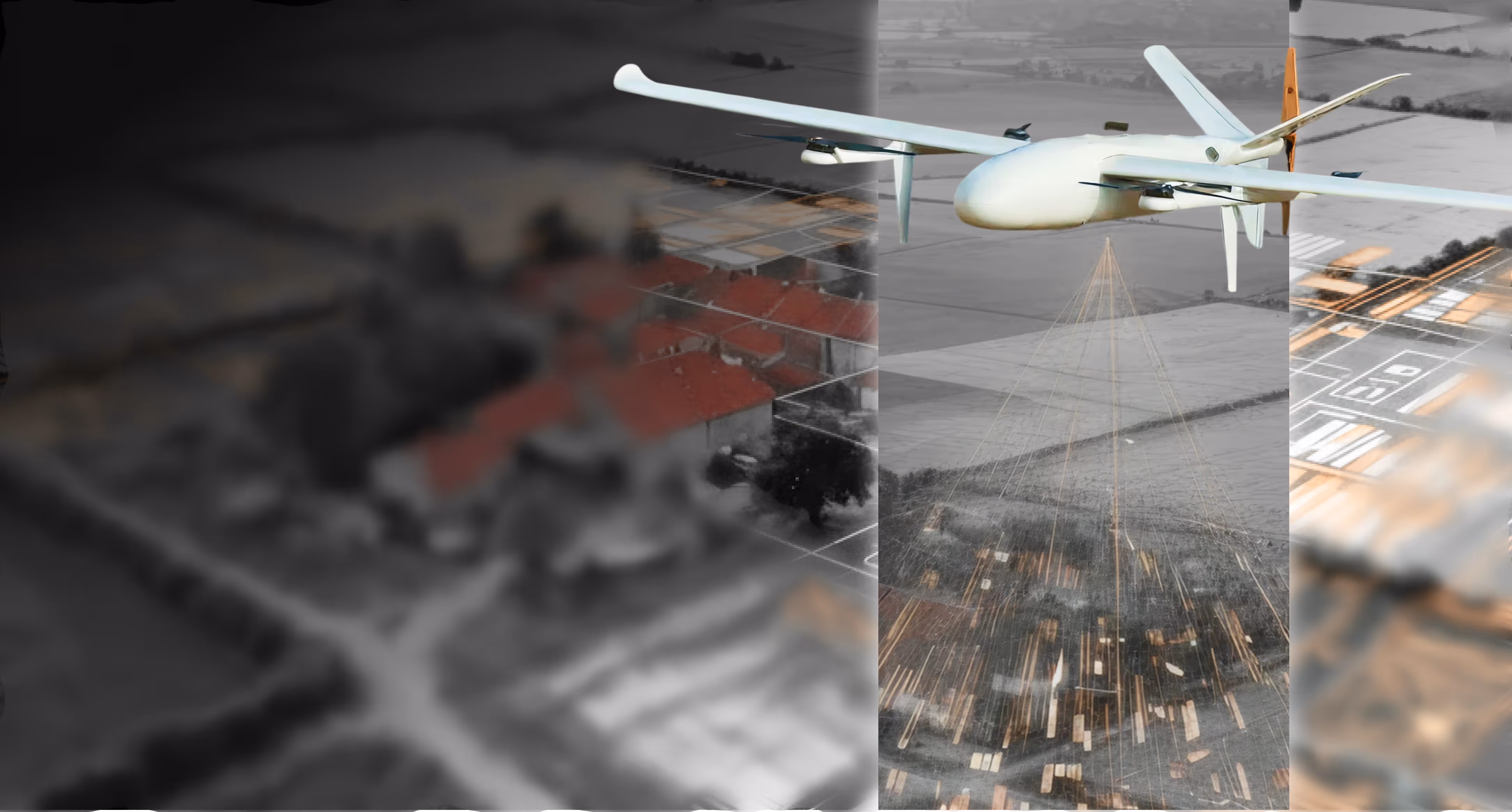
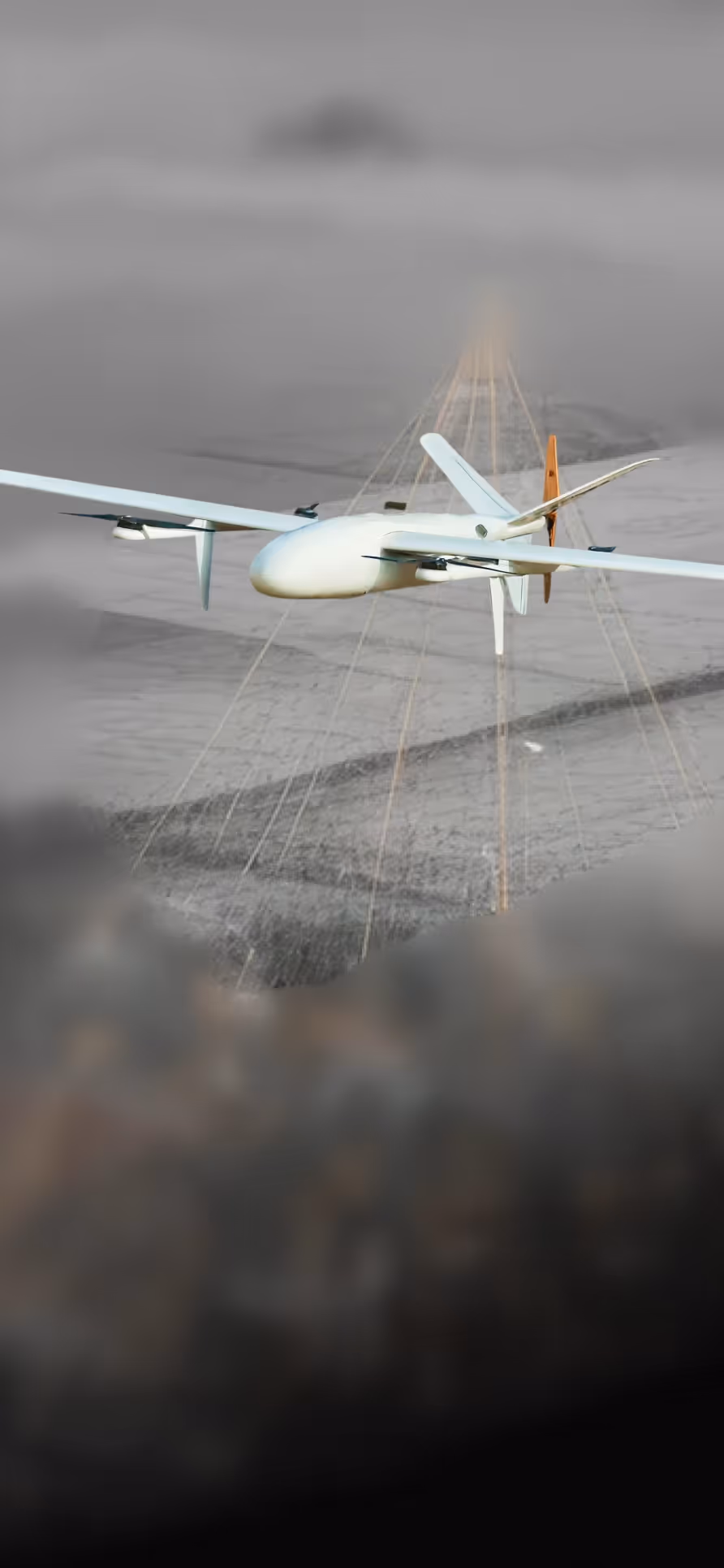
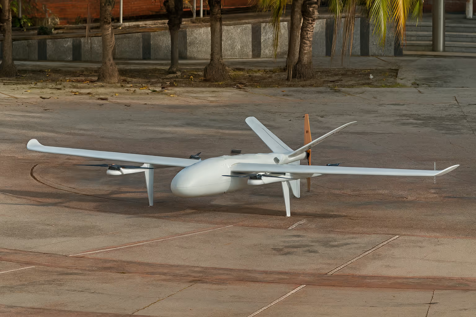
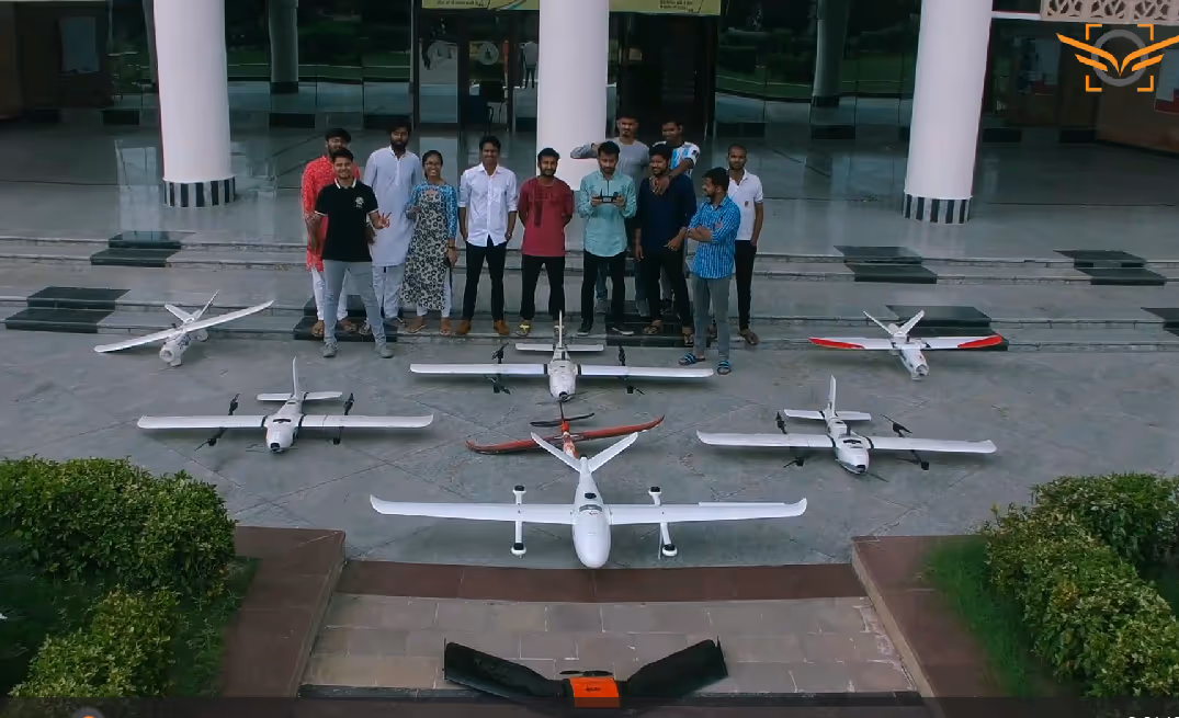
OmniHansa Mapper is a long-endurance VTOL fixed-wing UAV engineered for wide-area surveillance, mapping, and persistent intelligence missions. By combining vertical takeoff and landing with efficient fixed-wing cruise, Hansa enables multi-hour operations, high-altitude performance, and reliable deployment from unprepared or confined locations—without the need for runways.
Key Highlights
Long-Endurance Mission Capability
Delivers up to 4 hours of endurance without payload and ~3.5 hours with a 1.2 kg payload, enabling persistent monitoring and extended patrols.
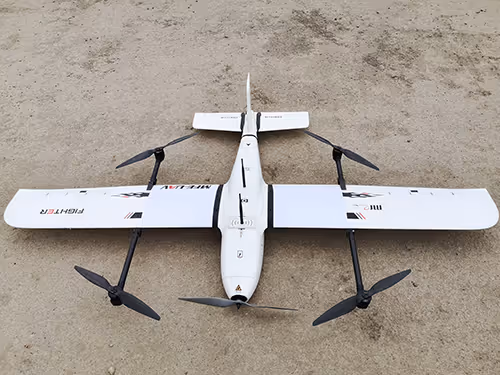
VTOL + Fixed-Wing Efficiency
Vertical takeoff and landing for restricted sites, seamlessly transitioning to fixed-wing cruise for long-range, energy-efficient coverage.
High-Altitude Operations
Supports missions up to 4800 m altitude, making it suitable for mountainous and high-elevation environments.
Stable & Predictable Flight Performance
Cruise speeds up to 26 m/s with controlled handling and defined stall characteristics for safe, repeatable operations.
Mission-Ready Payload Capacity
Supports ~1.2 kg of operational payload (excluding batteries), ideal for EO/IR sensors, mapping, and survey equipment.
All-Weather Operational Intent
Designed to operate across –20°C to +45°C with defined wind resistance envelopes in both VTOL and forward-flight modes.
Impact
Wide-area surveillance, mapping, and reconnaissance missions demand endurance, altitude, and operational flexibility—often in regions lacking prepared infrastructure. Conventional fixed-wing UAVs require runways, while multirotors lack the endurance for persistent coverage. OmniHansa Mapper addresses this gap by combining VTOL flexibility with fixed-wing efficiency, enabling long-duration, high-altitude missions from remote or constrained locations while maintaining reliability, payload versatility, and operational safety.


.avif)

.svg)
.png)
Explore other projects


.avif)