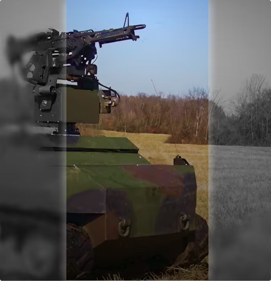
%%Spoof-proof, Jam-proof and Hack Proof%%.The most reliable solution for drones
Robust and intelligent navigation system for unmanned aerial vehicles (UAVs) that can operate without GPS. Awarded by Territorial Army.
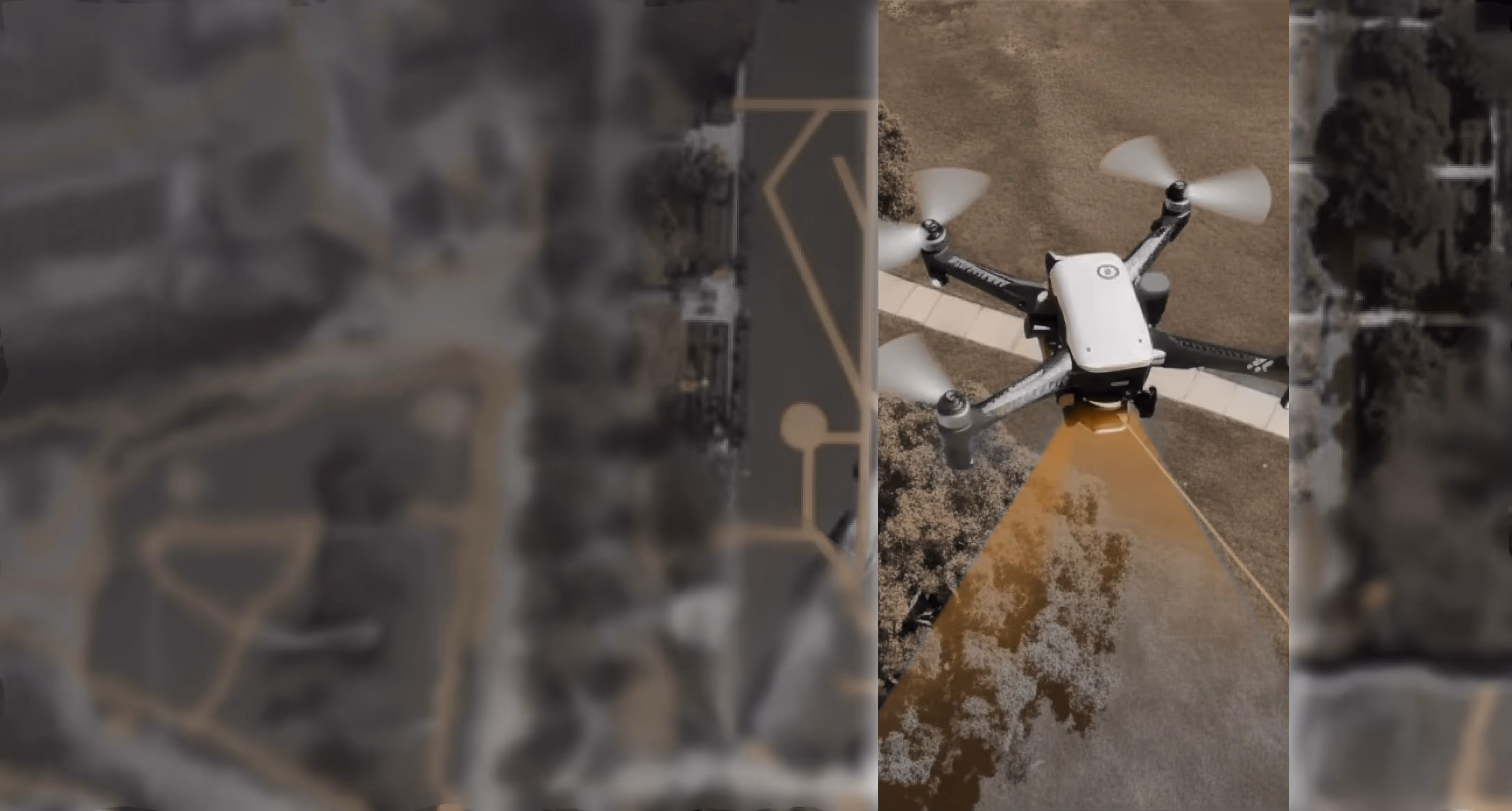
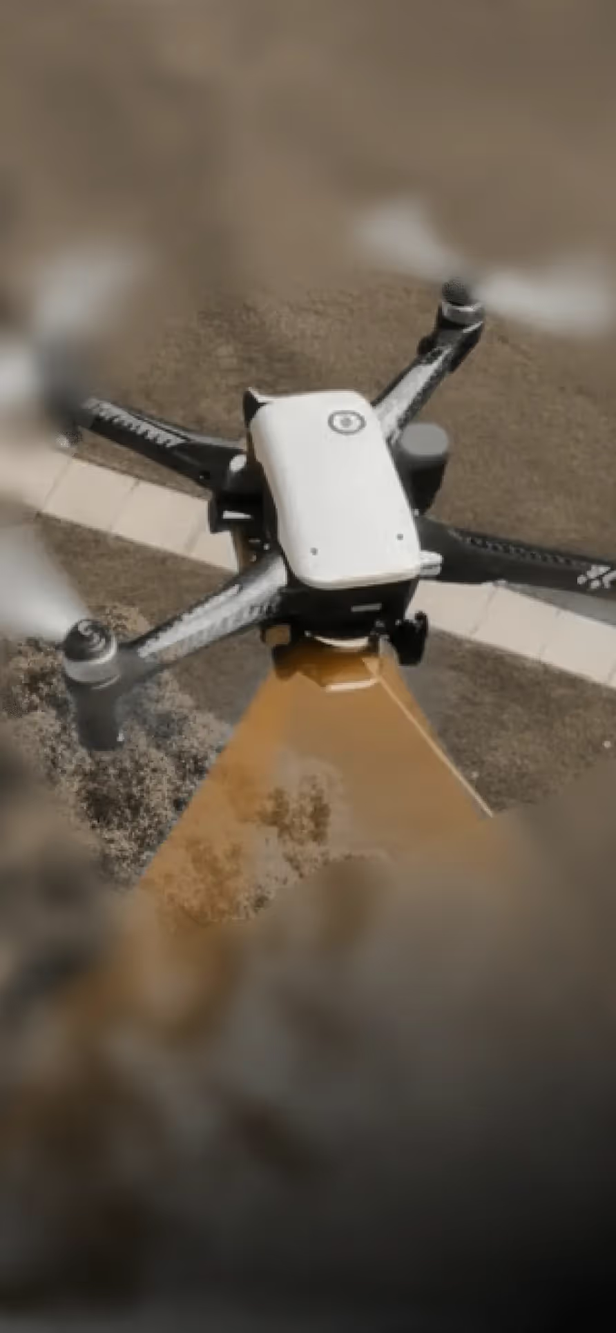
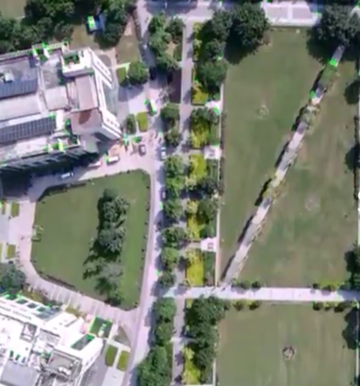
In GPS-jammed zones drones must rely on their own sensors to determine their position and navigate safely. Our system uses vision-based perception, inertial sensing, and advanced sensor fusion algorithms to allow a drone to understand where it is, how it is moving, and how to reach mission objectives even with no satellite signals available.
Key Highlights
GPS Independence
Fully operational even in GPS-jammed, spoofed, or denied environments. Supports strategic defense and high-risk mission scenarios.
Vision-Inertial Fusion
Combination of camera and IMU ensures stable navigation Reduced reliance on external infrastructure
Real-Time Processing
Low-latency visual odometry and state estimation Works during hovering, forward flight, and aggressive maneuvers
Map-Matching Capability (Optional Mode)
Compares live imagery with pre-loaded maps for absolute corrections. Improves long-duration accuracy by reducing drift
Autonomous Safety
Automatic fallback and confidence checks Smooth handover between GPS-available and GPS-denied navigation
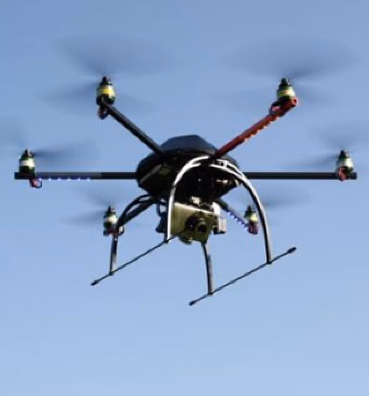
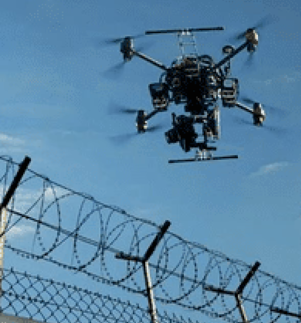
Compact & Lightweight System Design
Suitable for small multirotor platforms Minimal power draw and embedded-friendly compute
Impact
The system enables secure and resilient UAV operations in contested and high-risk environments where conventional GPS-based navigation fails. By removing dependency on satellite signals, it strengthens mission reliability for defense and strategic use cases, improves flight safety through autonomous fallback mechanisms, and expands the operational envelope of UAVs in GPS-denied conditions.


.avif)

.svg)
.png)
Explore other projects