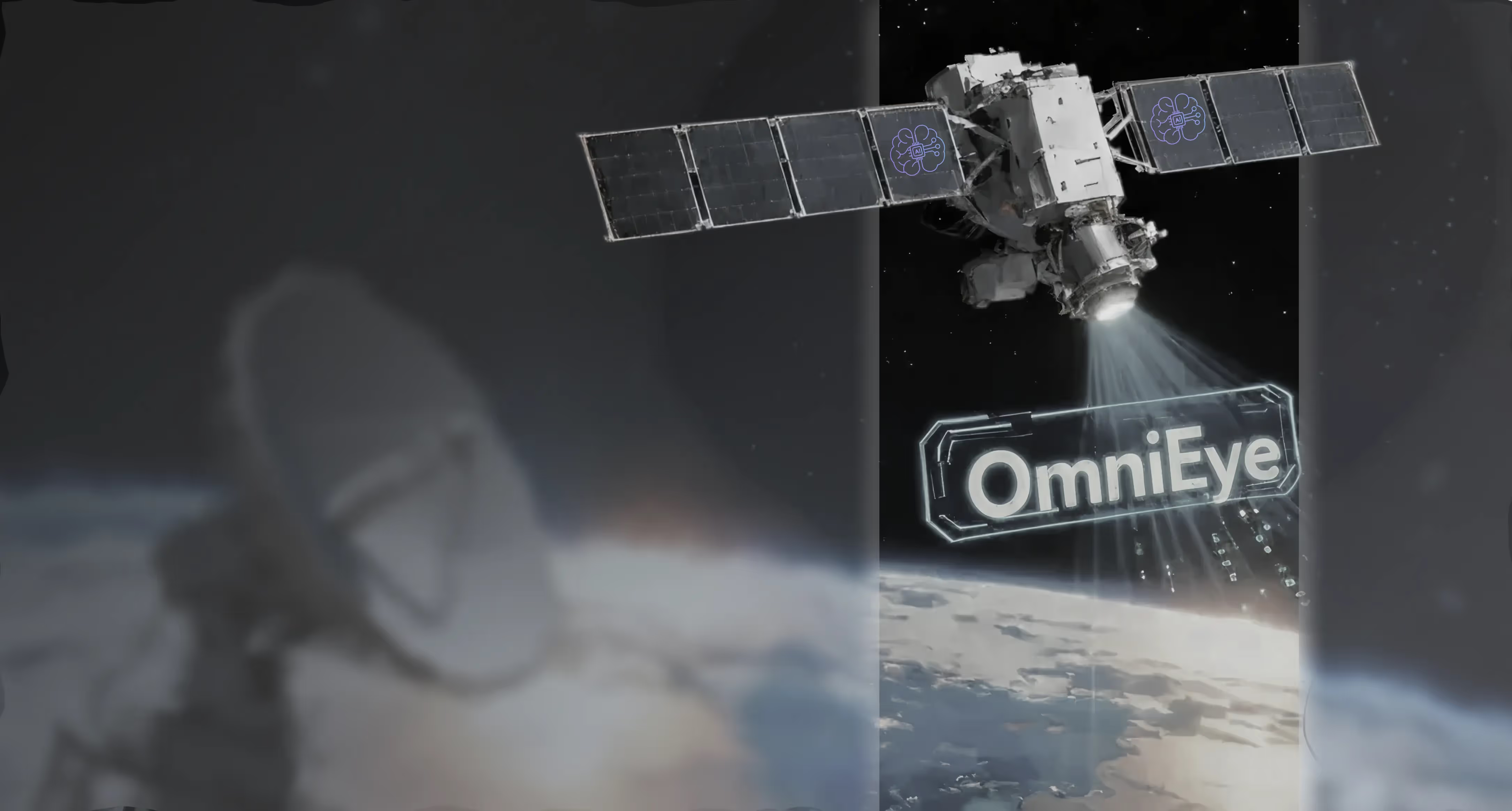
India’s First Space-Based %%Real-Time AI Processing%%

Intelligent onboard geospatial analytics for automated satellite imagery interpretation. Awarded by iDEX DISC 8, Indian Air Force.
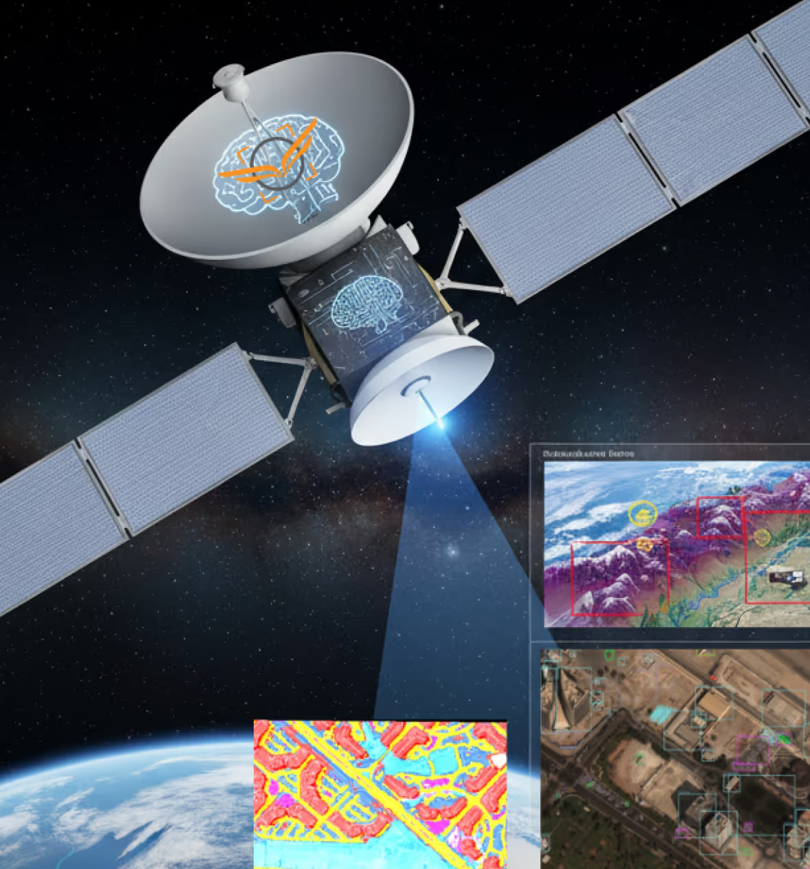
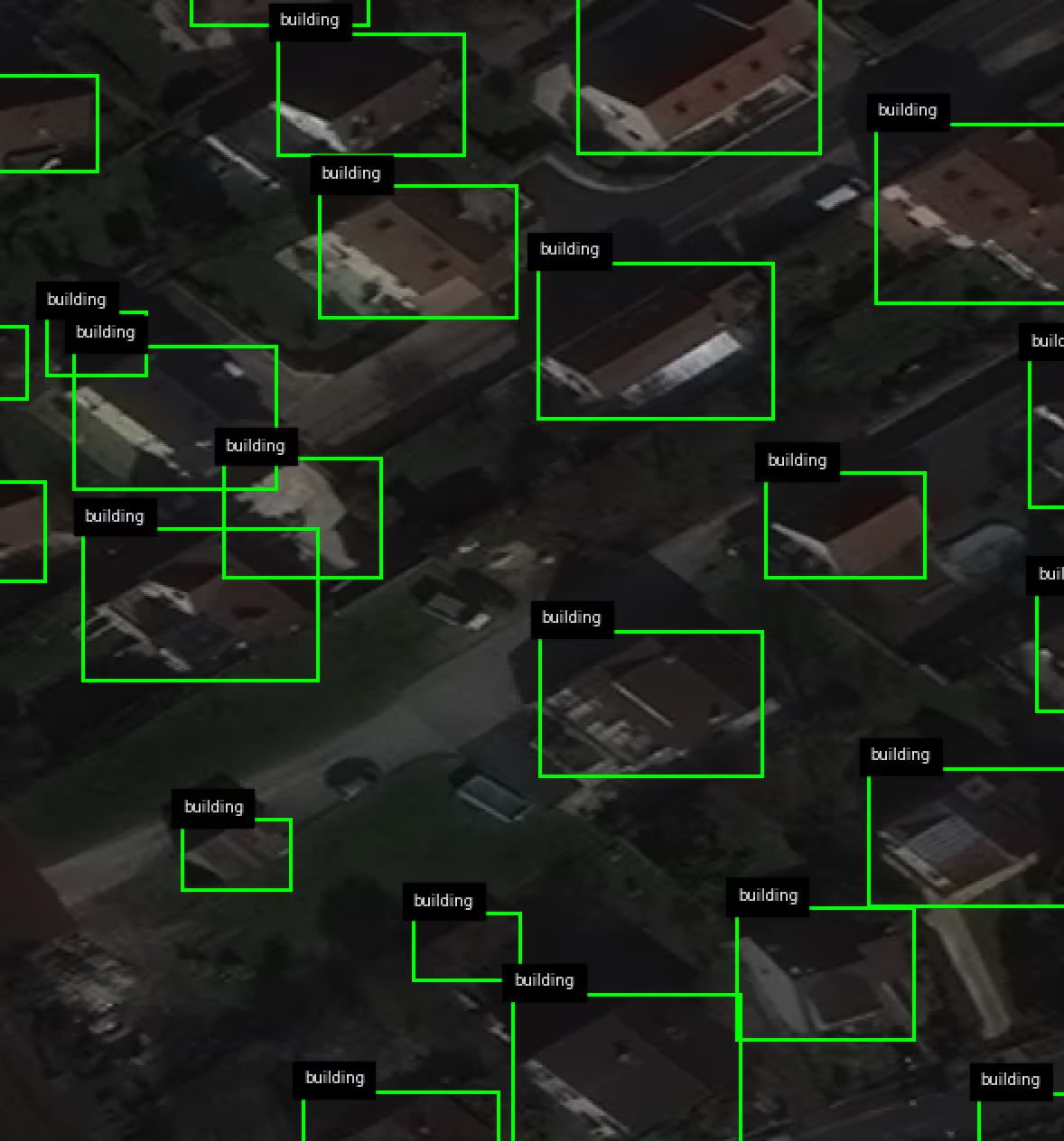
The project enables object detection and temporal change analysis directly at the payload level, reducing reliance on ground-based processing. It establishes a scalable, modular foundation—covering architecture, data workflows, and validation—designed for accuracy, efficiency, and future mission adaptability, supporting advanced Earth observation and responsive monitoring.
Key Highlights
Problem-Driven Architecture
The solution is designed around real operational needs, ensuring practicality and deployment readiness.
End-to-End Workflow Definition
A complete end-to-end workflow defines data intake, processing, and output, clarifying component interactions and dependencies early.
Early Validation Using Representative Data
Representative datasets were used to validate feasibility, revealing assumptions and limitations that informed refinements.
Progressive Refinement Approach
An iterative approach improved performance and reliability while managing risk through validated, stepwise refinements.
Modular System Design
The system has been structured in independent modules to allow parallel development and easier integration. This modularity also enables future enhancements without disrupting existing functionality.
Scalable Foundation
The design supports scalable data complexity, processing depth, and operational scope for future mission needs.
Impact
The project addresses the growing challenge of delivering timely insights from large volumes of satellite imagery. By moving beyond raw data downlinking and ground-heavy processing, it enables intelligent, selective analytics at the source—prioritizing relevant insights through automated object detection and change awareness. This reduces latency and data load while supporting faster decisions and improved situational awareness across Earth observation use cases.


.avif)

.svg)
.png)
Explore other projects


.avif)